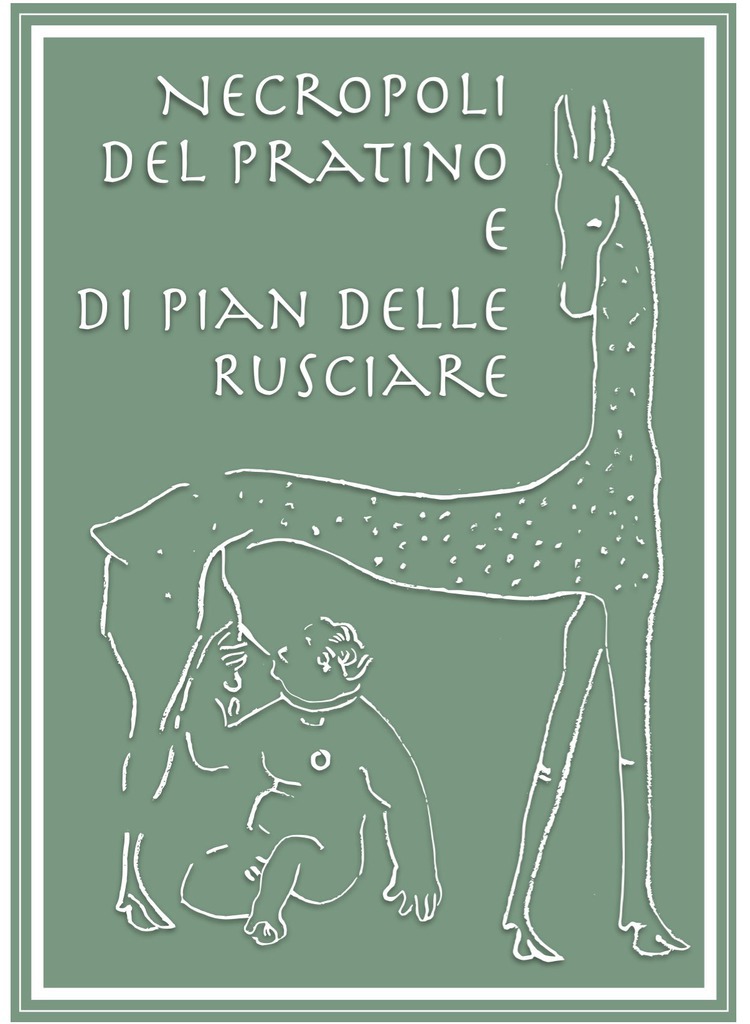
Park panel texts - QR CODE SCAN
Introduction
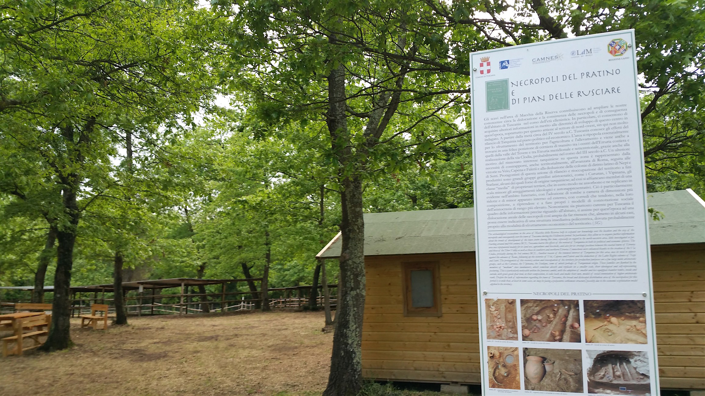
The archaeological excavations in the area of Macchia della Riserva help to expand our knowledge over the location and the size of the necropolis and consequently over the town of Tuscania during the Hellenistic period. In particular, they allow us to acquire further information about the trends of development of the town centre during this time, especially in regard to the north-western area, little investigated so far. Starting around mid 4th century BCE, Tuscania learns the effects of the revival of Tarquinia in both its political and economic spheres. The area was repopulated mainly for its land use, agriculture and livestock, and also for its strategic position between the coastal towns of Etruria and those of the Tiber Valley as well as those in southern and northern Etruria. Connections were enhanced thanks to the creation of the Via Clodia, probably during the 3rd century BCE. Another reason of the renewed interest of Tarquinia for this area, was its need to oppose against the advance of Rome, following up the victories of Veii, Capena and Falerii and the deduction of the Latin Rights colonies of Nepi and Sutri. The protagonists of this recovery action and reoccupation of the territory for production purposes are a few large noble aristocratic groups, such as the Curunas, the Vipinana, the Statlane, some of which perhaps of Tarquinian origin. These families are flanked by the members of “medium” class landowners, which somehow absorb and replicate on a smaller scale, their ideological and self-representing posturing. This is particularly noticeable within the funerary ambit, with the adoption of smaller and less equipped chamber tombs, inside and outside, with grave goods that tend, in their composition, to take back and make their own, models of social connotation of higher aristocratic rank. Despite the lack of information regarding the town of Tuscania, the broad and dislocated distribution area of the necropolises for this period is so wide that, at least in some cases, we may be facing a polycentric settlement structure, possibly due to the economic exploitation model applied to the territory.